
The lower station is at 51 Palgongsan-ro 185-gil, Dong-gu. From there, the cable car travels about 1.2 kilometres to the upper station in around seven minutes. Decide what you will do after the ride before paying for a return ticket.
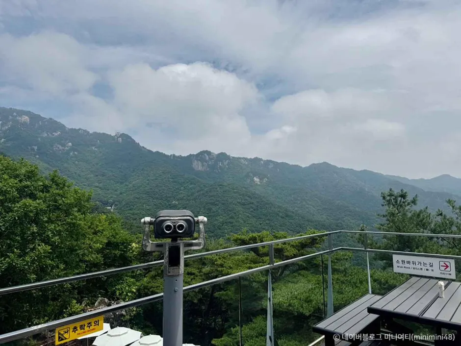
Build the visit around one of three endpoints
- Ride and return: use the cable car for the mountain view, then take the same line down.
- Ride plus a short upper walk: check the path and weather at the upper station and leave time for the last descent.
- Hike instead: Daegu lists a 9.9-kilometre Sutaegol-Dongbong-Seobong-Sutaegol loop and two 11-kilometre routes linking temples and valleys. Those are separate trail plans, not extensions of the cable-car ticket.
Arrival and return need a live route check
Operating hours vary by month, and weather can affect service. Confirm the current timetable with the operator. For public transport, check the Daegu bus information system for your starting point and date; the city's general Palgongsan information does not give a single year-round bus itinerary to the cable-car entrance. If driving, use the exact station address and confirm parking availability.